- Antarctic map from:
Wessel, P., and W. H. F. Smith (2014).
Shoreline Boundary between Antarctic Grounding Line and the Ocean, 2014 (High-resolution). (v. 2.3.3). United States. National Geospatial-Intelligence Agency. Available at http://purl.stanford.edu/pg150hg9699.
- New Zealand map from:
Land Information New Zealand - Coastline polyline (Hydro, 1:1.5mil and smaller)
- World map from:
https://github.com/simonepri/geo-maps/blob/master/info/earth-coastlines.md#earth-coastlines
- Sea ice concentration data:
AMSR2 from University of Bremen (through https://www.polarview.aq/antarctic)
- Ross Sea raster map:
OGS - G.Prato (2025)
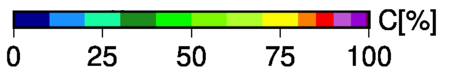
Ice concentration